
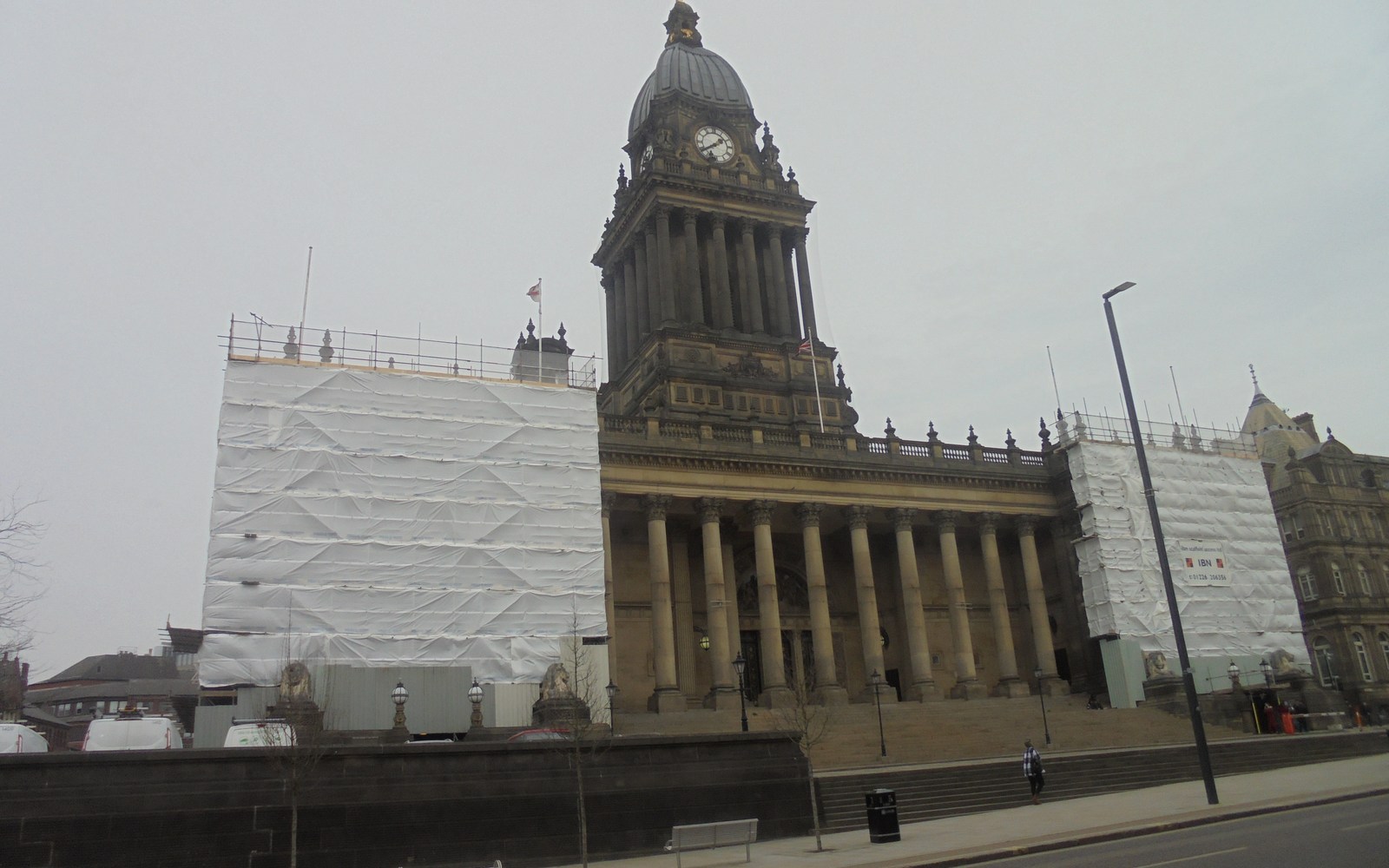
A city that works at more than one scale
Leeds city centre is compact enough to explore in sections, but the wider city stretches through neighbourhoods with their own shops, parks and business communities. Headingley, Roundhay, Morley, Farsley and Yeadon each mean something different to the people who use them every day.
This directory includes the centre and surrounding communities. A listing’s address and service area matter more than the broad Leeds label, especially when you are choosing a nearby appointment or a tradesperson who will travel to you.
Markets and arcades give the centre its character
Kirkgate Market and the Corn Exchange offer two different ways into the city’s trading history. The market remains a working place to shop and eat, while the Corn Exchange houses independent businesses beneath its distinctive roof.
The Victorian arcades and smaller streets reward a slower browse. Check a particular trader’s hours before travelling; an arcade building being open does not guarantee that every shop inside is open.
Follow the waterfront for a change of pace
The River Aire cuts through the centre and connects former industrial spaces with newer places to live, work and visit. Walking towards Leeds Dock gives a different view from the main shopping streets.
Waterfront routes can involve steps, bridges or temporary diversions. Check an accessible route in advance if you need one, and allow time for the walk instead of assuming every central destination is beside the station.
Choose a neighbourhood as well as an attraction
Headingley and Hyde Park have shops and cultural venues of their own; Roundhay offers a greener trip, while places such as Farsley and Morley are separate local centres. These are reasons to explore Leeds in several visits rather than one hurried circuit.
Use local listings to find a practical stop near the place you are going. Ask businesses about parking, appointments and access directly rather than inferring them from a map pin.
Plan the journey before leaving
Leeds railway station sits close to the central shopping and business districts, with bus routes reaching neighbourhoods across the city. The right bus stop and the final walk still depend on your destination.
West Yorkshire Metro provides current public-transport information. For parking, road restrictions and council services, use Leeds City Council’s current pages instead of relying on an old guide’s prices or route numbers.
Spotted something out of date? Let us know.